GPAL and Track: All About the Data
By Knowledge Base on September 17, 2024
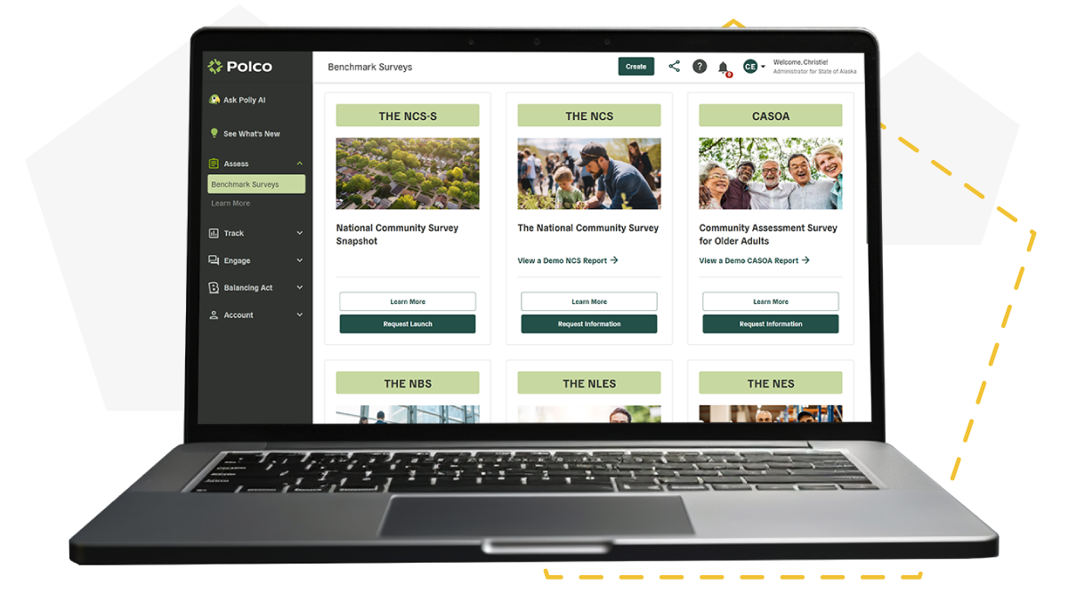
The data in Polco’s Track dashboards comes from Government Performance Action and Learning (GPAL), a collaboration of public, private, and academic partners who distill data into simple insights for government leaders. GPAL consolidates extensive data from public records, private research efforts, and proprietary sources into a single comprehensive dataset. This data populates the Track insight dashboards curated for your local community.
Types of Data
Polco’s Track dashboards showcase multiple types of data:
- Community statistics: Secondary data from public sources (e.g., the U.S. Census, CDC, ACS, etc.). Most community statistics in the dashboard are considered indicators—monitorable outcomes that provide insight into overall community livability—but a few are community demographics or characteristics (e.g., median age, population, etc.).
- Resident sentiment: Community members’ opinions and perceptions, collected during the community’s most recently conducted benchmark survey (such as The National Community Survey) with Polco.
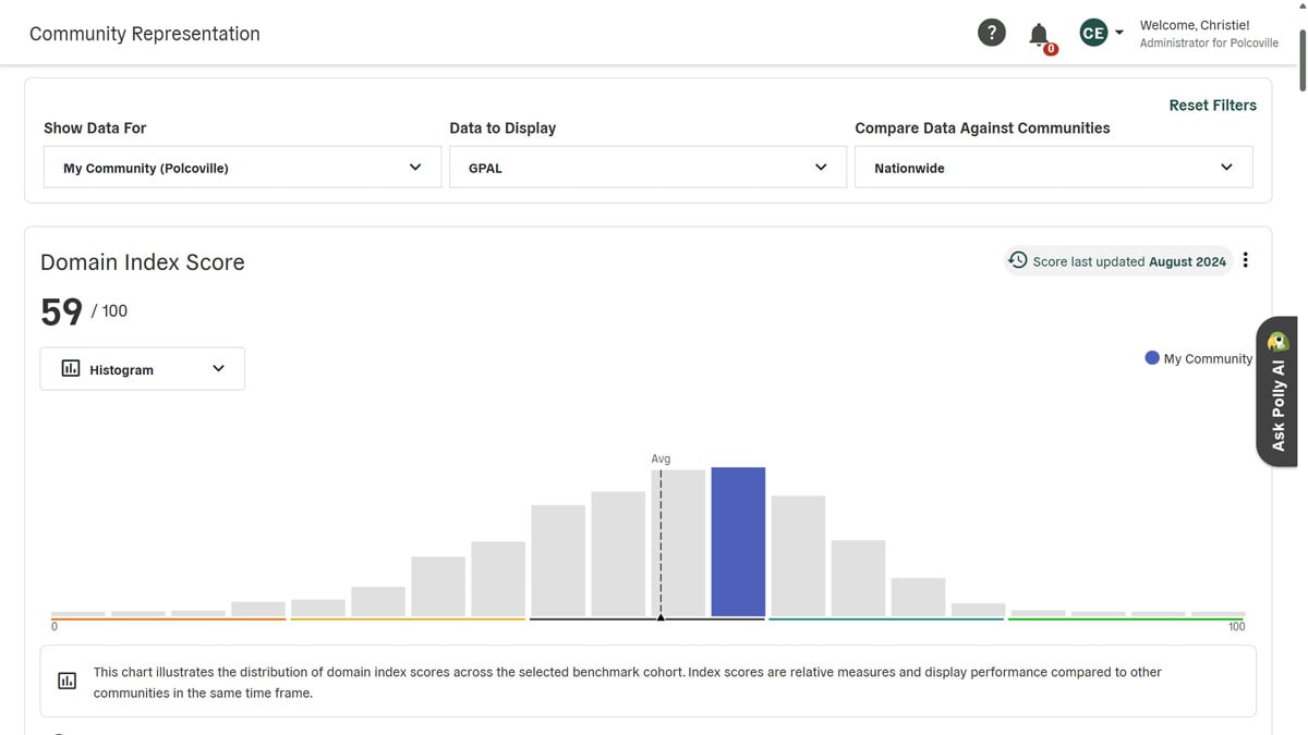
- Index scores: Calculated variables that are based on both community statistics and resident sentiment data.
- Benchmark comparisons: Your community’s score relative to other like communities across the nation (default), within your state (optional), and/or of similar population size (optional).
These dashboards feature hundreds of data points categorized by domain, enabling you to hone in on the specific factors most relevant to your community. A sampling of these data points includes:
|
|
Data Sources
The GPAL dataset will continue to grow as new partners join the effort. Currently, the resident sentiment data is sourced from Polco’s own database of resident opinion, gathered from conducting benchmark surveys (such as The National Community Survey) in hundreds of communities across the nation.
The community statistics data are compiled from these sources:
|
|
Data Coverage
As of November 2023, there are 70,387 total geographic entities included in the GPAL dataset. This number includes the following location types:
- 50 states
- 3,142 counties
- 31,567 places (cities, towns, villages)
- 35,628 county subdivisions
Data Usage
This collection of curated, actionable data empowers planners, city managers, area agencies on aging, law enforcement leaders, public works, and other government agencies to make decisions that improve community livability and quality of life. Polco’s Track Module helps local governments more easily monitor their community’s performance and create effective strategic plans, strengthen applications for grant funding, align elected officials with staff, prepare for council retreats, and make decisions on where to allocate resources. In addition, these dashboards assist municipalities faced with tough decisions regarding the current housing crisis, economic downturn, and increasingly extreme weather conditions.
Popular posts
Sign-up for Updates
You May Also Like
These Related Stories

Unlock the Power of Community Insight with Polco’s Assess Module
All About GPAL

